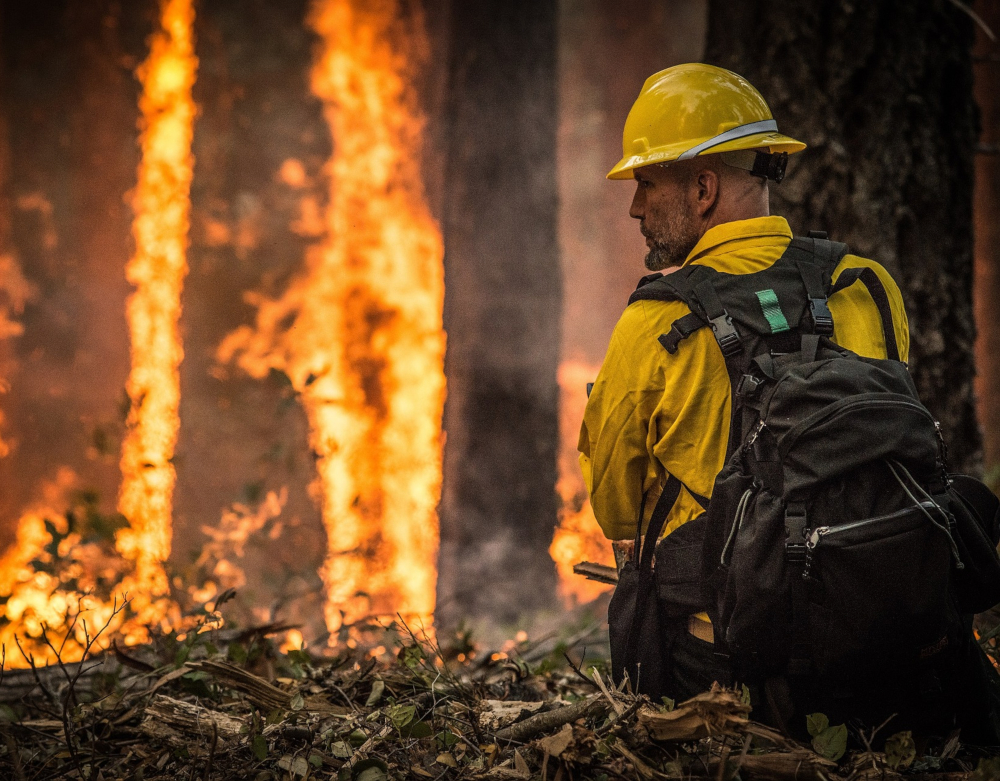
As we embark on an early start to the bushfire season in Australia it is worth thinking about the ways technology can help in the prevention and fighting the fires.
Australia continues to experience unprecedented destruction from bushfires. Now is the time to harness our technological tools, and find innovative ways to help alleviate the problem, and also prevent future disaster.
Predictive mapping has been a vital tool in an ongoing effort to identify at-risk forest areas and proactively manage the risks of fires. It works by analysing images to see what human eyes don’t always see.
Now, progress in technologies such as artificial intelligence (AI), drones, and Internet of Things sensors have opened new ways for us to better prevent and effectively respond to bushfires. For this, the key is to have plenty of data relevant to that location.
Using tech to gather and distribute data
Crucial data needed for bushfire prevention planning can come from a range of sources, including Internet of Things (IoT) sensors collecting weather data, archived data from the past, modelling tools, satellite images, and even social media.
These technologies can converge to gather a diverse range of data, helping us make predictions about the likelihood of an event occurring in a specific location with more speed and accuracy than ever before. Such predictions provide timely and targeted information that can greatly aid emergency services in doing their job, especially as they often have stretched resources on the ground.
Our goal now should be to integrate our use of these emerging technologies into existing systems of State Emergency Service departments, which can relay more strategically targeted information to local authorities who need it. This can be built into their existing systems.
The potential of mesh networks
Next-generation “mesh networks” are an emerging technology made possible by the convergence of 5G, artificial intelligence, billions of Internet of Things (IoT) sensors, and virtual and augmented reality.
Whereas older networks are based on a limited number of access points, with mesh networks every person with a 5G-enabled smartphone is a node capable of connecting with everyone else. When 5G mobile phone service is rolled out across Australia, we’ll be able to do this.
With this technology, people in a bushfire or other disaster-afflicted area can create a local mesh network using their smartphone. They could contribute by recording 360 degree videos, make narrative reports about unfolding events, take close-up photos etc, then distribute these to the mesh network.
Photogrammetric artificial intelligence can produce reliable information about physical environments by processing captured imagery. It integrates these videos to create live holograms in real time. This form of virtual reality will put observers right there on the ground. This will help authorities away from the scene to verify reports and more effectively coordinate relief efforts.
It may also assure family and friends that their loved ones in afflicted areas are okay.
Learning from others
California’s One Concern is an example of a next-generation disaster management service that provides a model for what could be achieved in Australia.
It has partnered with various city governments, including San Francisco and Los Angeles, to create virtual models of particular regions’ physical environment, by assigning “digital fingerprints” to each significant feature of that environment. The service constantly monitors any thermal shifts and seismic movement across the sensor network.
Processing this data together with historical data allows One Concern to run simulations to help determine the best course of action while a disaster event is unfolding. It can also highlight the most effective prevention methods, and where the greatest vulnerabilities are for the specific region and threat.
Crowdsourcing software Ushahidi (meaning “evidence” in Swahili) is another example of a useful tool for disaster or conflict management.
This free, open-source software is used at more than 100,000 communities globally.
During the 2007–2008 Kenyan election crisis, a local blogger put a callout online. The blogger was seeking someone with the technical skills needed to produce a combined image of where violence was happening, to then overlay it on a map.
With no shortage of volunteers, it wasn’t long before the platform was up and running. Soon the site was crowdsourcing up to 40,000 first-hand, geotagged and time-stamped reports. It also drew from social media posts and news articles.
The system was able to send information back to individuals on the ground to help them avoid locations where violence is reported. All of this happened beyond the surveillance capabilities of the government, which means contributors remained safe from reprisal.
Looking to the future
Traditional bushfire prevention methods so far have included managing fuel loads with low intensity burns to reduce flammable vegetation and leaf-litter before they reach levels that result in destructive high-intensity.
While this method works where it is employed, it’s time we used 21st century solutions to tackle the increasing threat of bushfires. In many parts of Australia, the question is when a disaster will occur, not if it will.
First responders facing an advancing fire need all the help they can get, and strategically gathered information from smart systems will give our firefighters a distinct advantage.
The technologies discussed above are some of the ways we can rise to the challenge. We need to build stronger, more capable ways of preventing disaster where possible, managing the disaster while it happens, and identifying ways of becoming more disaster-resilient.
Source: SmartCompany

